Revised Shaktipith Highway Plan Approved, Route Through Key Villages Finalised
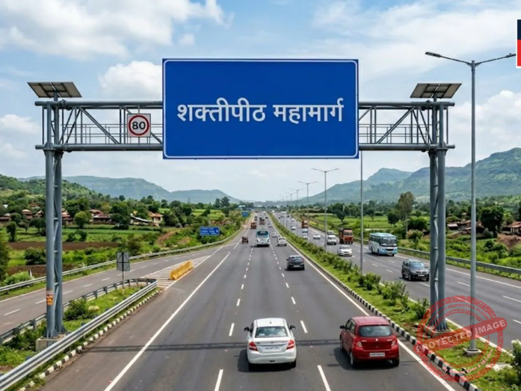
Shaktipith Highway
Maharashtra has approved the revised 856-km Shaktipith Highway plan, finalising villages across Kolhapur and Sangli while incorporating changes following farmer protests over land acquisition and compensation concerns.
Mumbai | April 15, 2026:
The Maharashtra government has approved a revised plan for the ambitious Shaktipith Highway project, bringing clarity to its alignment and the villages that will be impacted along its route. The infrastructure project, spanning approximately 856 kilometres, is expected to significantly enhance connectivity across multiple districts while boosting economic prospects in rural regions.
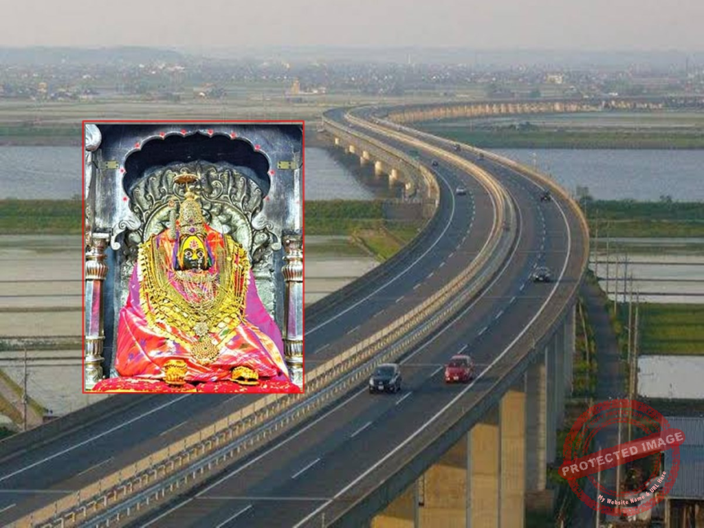
The proposed highway will connect Digraj in Wardha district to Banda in Sindhudurg district, passing through 13 districts and nearly 40 talukas. Key regions in western Maharashtra, including Kolhapur and Sangli, will be directly linked through this corridor, improving regional accessibility.
As per the revised alignment, a total of 73 villages in Kolhapur district and 25 villages in Sangli district will fall along the highway route. In Sangli, several villages such as Etavade Khurd, Kusal, Kundalwadi, Tujarpur, Nave Khand, Mamuchiwadi, Dugdhadi, Bogao, Kundal, Kumbhargaon, Devarashtra, Shirgaon, Bhalwani, Atpadi, Nagthane, Walwad, Malni, and Pendwade have been included in the updated plan.
In Kolhapur, the highway will pass through multiple talukas, including Hatkanangale, Karveer, Radhanagari, Kagal, Bhudargad, and Ajra, covering a wide network of villages across these regions. The route is designed to ensure seamless travel across both plains and hilly terrains.
According to officials, the project will involve the construction of several bridges and ghat roads to navigate challenging geographical features. Notably, the highway will cross the Warna River after entering Kolhapur from Sangli district. From Old Pargaon in Hatkanangale taluka, it will traverse through Karveer, Radhanagari, Bhudargad, Ajra, and Chandgad before proceeding toward Sindhudurg.
The revised plan comes after significant opposition from farmers and local representatives, particularly in Kolhapur and Sangli districts. Concerns were raised over the acquisition of fertile agricultural land and the adequacy of compensation offered under the initial proposal.
In response, authorities revisited the alignment and made necessary modifications to minimise the impact on productive farmland and address grievances raised by affected communities. Officials stated that efforts have been made to strike a balance between development needs and the protection of agricultural livelihoods.
The Shaktipith Highway is expected to reduce travel time, improve logistics efficiency, and open up new economic opportunities in rural belts. Enhanced connectivity is also likely to benefit trade, tourism, and local industries across the regions it passes through.
While the project has now gained momentum with the revised approval, its successful implementation will depend on continued coordination between government agencies and local stakeholders. Authorities have indicated that further consultations and transparency in land acquisition processes will be prioritised as the project moves into the execution phase.
Follow us On Our Social media Handles :
Instagram
Youtube
Facebook
Twitter
Also Read- Pune