Pune Municipal Corporation and Land Records Department to Link Data for Seamless Construction Approvals

Pune
In a major relief for citizens and developers, the Pune Municipal Corporation and the Land Records Department will integrate their digital platforms to streamline building permissions and eliminate bureaucratic delays
May 27, 2026 | Pune: The cumbersome process of acquiring construction permits in Pune is set for a massive administrative overhaul. From initial land surveys to the issuance of final building completion certificates, the entire regulatory procedure will soon transition to a fully automated online system. In a historic collaborative move, the Pune Municipal Corporation (PMC) and the Land Records Department have decided to interlink their extensive databases. This integration promises immense relief to ordinary citizens and real estate professionals who previously endured exhaustive visits to multiple government offices.
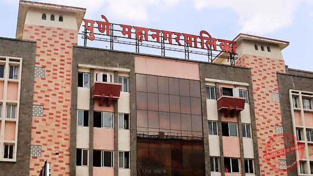
Historically, applicants seeking building permissions within PMC limits were strictly required to attach a certified land measurement map. However, the process faced severe procedural hurdles when the Land Records Department abruptly discontinued its traditional usage-based measurement methodology. Furthermore, the department introduced a stringent prerequisite mandating temporary layout approval from the civic body before initiating any new land survey. This sudden regulatory friction between the two critical institutions resulted in significant administrative bottlenecks, leaving the public frustrated and delaying projects.

Addressing the growing public dissatisfaction, State Revenue Minister Chandrashekhar Bawankule intervened to mediate the ongoing dispute. During a recent high-level administrative meeting, both agencies successfully resolved their differences and officially agreed to implement a unified digital solution by making their internal records mutually accessible.

Under the newly devised digital framework, existing property records and maps will be directly synchronized with the municipal corporation’s official Development Plan (DP). Development markings will be digitally superimposed onto official survey layouts. Moving forward, when a citizen submits a building permission application through the PMC web portal, a simultaneous measurement request will automatically be routed to the Land Records Department. Once the physical ground assessment is concluded, the verified digital map will be instantly transmitted back to the civic body, effectively eradicating physical paperwork and accelerating the urban development process.
Social media Handles :
Instagram
Youtube
Facebook
Twitter
Also Read- Pune